
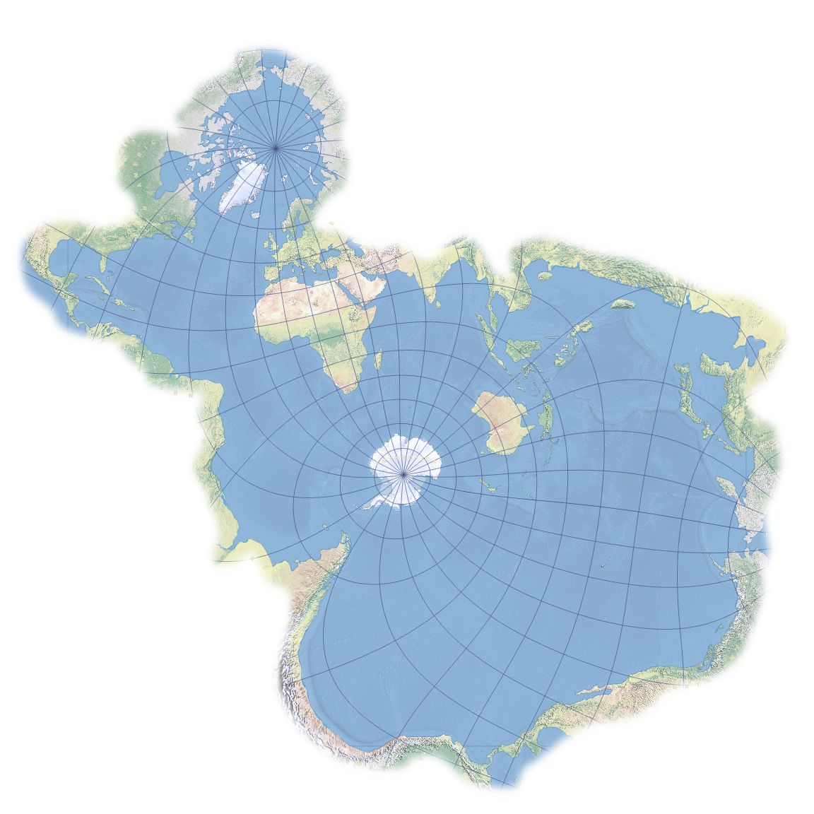
I feel like fish wouldn’t centre their map off of Antarctica, but rather the equator. Most fish are in warm water not freezing cold water.
Or maybe with the middle of the Pacific Ocean as the centre since it’s the largest open area of ocean.
I knew it. They DID build breathing apperatices to hunt lion from the coasts of Africa! Look how much land there they have mapped out.
Saltwater fish.
Hmm. Aren’t the Great Lakes in North America connected to each other and then to the St. Lawrence River via Lake Ontario, which eventually leads to the Atlantic Ocean? Maybe the map should include those large bodies of water too.
Lampreys are the greatest explorers among saltwater fish. They’ve mapped most of deepest darkest Greatlakesica, but most don’t make it back out to report their findings.
How do biologists determine that the lampreys migrated from the ocean versus being hatched/born in the Great Lakes?
Conspiracy fish: “The Earth is flat. There is a giant land wall around the edges keeping our water from spilling over the edge!”
Don’t forget that the land wall erases memories of the land wall.
Right! Right.
Uh, what was it again?
How these fish mapping out the interiors of Africa and Australia

